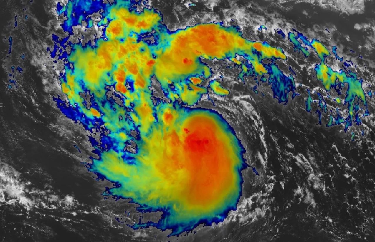
Hurricane Erin, the first of the 2025 Atlantic season, was captured in all its impressive magnitude by the cameras of the International Space Station (ISS). From above, the images reveal the vast eye of the storm, surrounded by thick spirals of clouds stretching across the ocean and reaching vulnerable coastal regions.
This perspective from space not only offers a breathtaking view but also provides valuable scientific information. Observing hurricanes from orbit helps experts improve the accuracy of forecasts, anticipate their paths, and better understand the energy that fuels such destructive systems.

Communities in the Atlantic remain on alert as Erin continues to advance, bringing with it strong winds, heavy rainfall, and the threat of storm surges. The monitoring carried out from the ISS plays a crucial role in giving authorities time to issue warnings and organize prevention strategies.
Why are space images of storms like Erin important?
Because they allow scientists to track hurricanes in real time, analyze their development from a global perspective, and design more precise prevention measures. This improves emergency responses and provides vital time to protect lives and minimize damage.