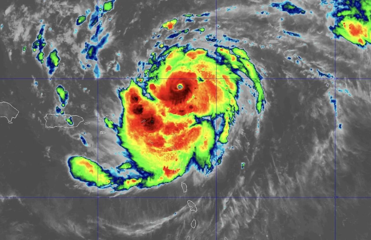
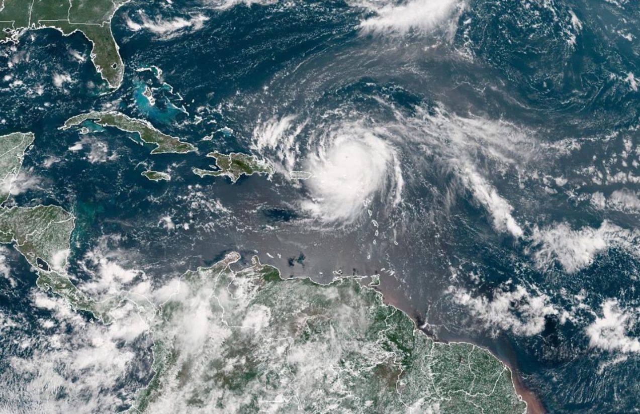
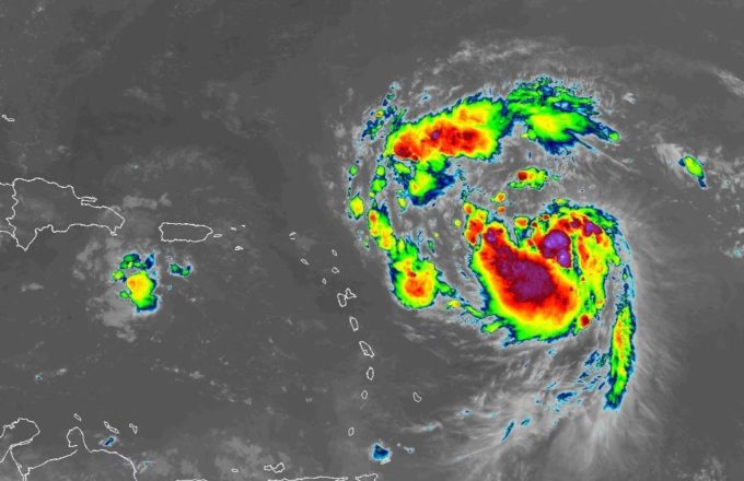
Hurricane Erin rapidly escalated to Category 5 in just a matter of hours during the night of Friday, August 15, into Saturday, August 16, 2025. According to Mike Brennan, director of the U.S. National Hurricane Center, the storm experienced explosive intensification, reaching sustained winds of up to 160 mph (257 km/h). This level of rapid strengthening is unusual, as it typically takes much longer.
Erin is currently located over the Caribbean and is expected to pass north of the Leeward Islands, Puerto Rico, and the Virgin Islands over the weekend. Forecasts predict up to six inches (15 cm) of rainfall, raising the risk of flash floods and landslides in these areas. Dangerous swells and rip currents are also expected to affect much of the U.S. East Coast, with Florida, the Mid-Atlantic, and Bermuda facing especially hazardous marine conditions.

For now, Erin is not projected to make landfall on the U.S. mainland. However, its projected path shows it moving northeast, potentially impacting the eastern Bahamas and approaching the coast of North Carolina in the coming days.
Is it common for a hurricane to reach Category 5 so quickly?
No. Erin’s sudden leap to Category 5 in just a few hours is highly unusual. This explosive intensification, defined as a wind increase of at least 35 mph (55 km/h) within 24 hours, represents an accelerated development that often surprises even experienced meteorologists.


