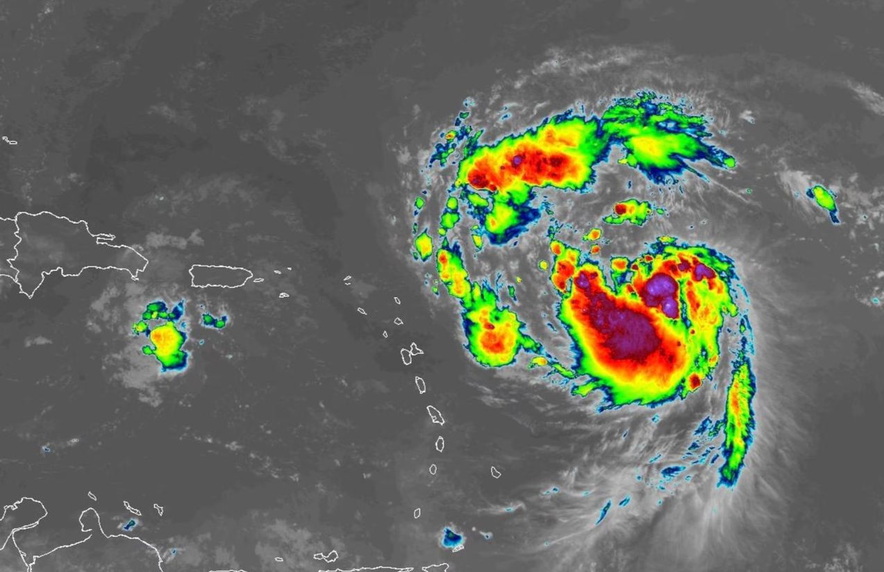
Tropical Storm Erin officially strengthened into a hurricane, becoming the first hurricane of the Atlantic season. With sustained winds of 75 mph, Erin already poses a significant meteorological threat.
The storm is currently located about 460 miles east of the northern Leeward Islands. Forecasts indicate it will move west-northwest, likely brushing or passing north of these islands over the weekend before curving toward the north.
Although a direct landfall is not imminent, tropical storm warnings have been issued for several Caribbean islands, including Anguilla, Barbuda, Saint Martin, Saint Barthélemy, and Puerto Rico. These areas could face heavy rainfall of up to 6 inches, flooding, and landslides. Dangerous swells and strong rip currents are also expected along the U.S. East Coast, with waves of 4 to 6 feet predicted in Florida.

Erin’s rapid strengthening is particularly concerning in a year already showing signs of being highly active. Projections suggest it could reach Category 4 strength, making it an extremely dangerous hurricane.
Does this mean the U.S. East Coast should prepare for a direct hit?
Not necessarily. Current tracking suggests Erin will remain over open waters, avoiding direct landfall. However, dangerous waves and rip currents will still be a serious concern. Monitoring remains essential, especially for Puerto Rico, the Virgin Islands, and Atlantic coastal areas, where impacts could be felt without Erin making landfall.